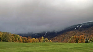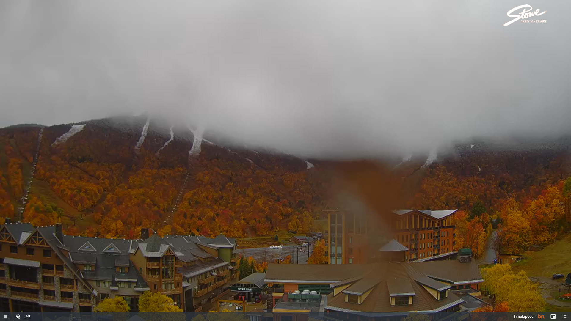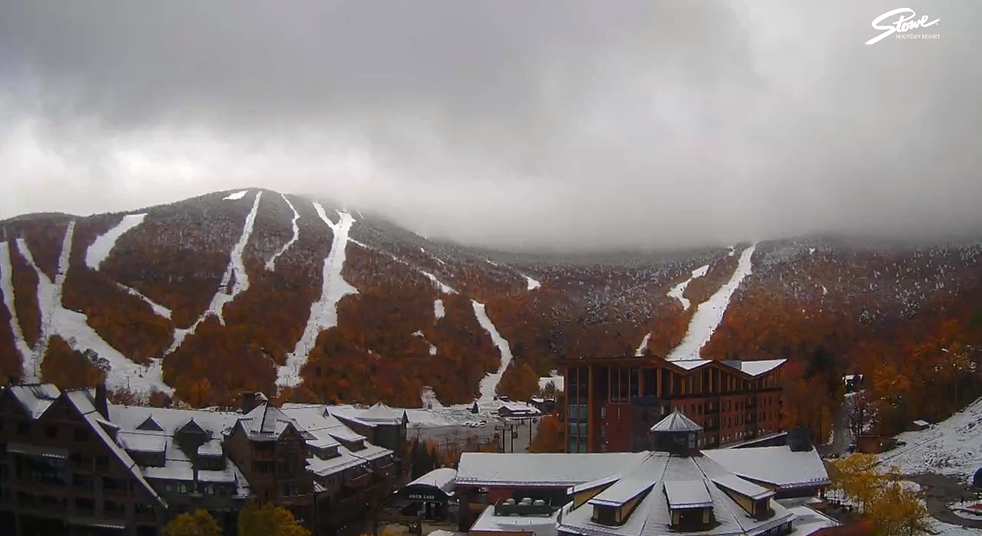
We’re wrapping up our third round of early season snows here in the Green Mountains of Vermont, and this cycle has certainly raised the bar with respect to accumulations. For several days, the weather modeling has shown the potential for a solid shot of snow at elevation, and as of Sunday’s runs, it was becoming more obvious that the event was coming together.
Personal observations related to this latest cycle of snow began for me on Sunday – I was up at Bolton Valley around 2,500’ and was getting into some frozen precipitation even down at that elevation. Right around that time, Powderfreak reported in from the upper elevations of Stowe Mountain Resort at the Gondola with a picture of big flakes coming down. As of later that afternoon, the snow level was around 3,200’, but it was expected to potentially mix all the way down to the valley floors by Monday. Late that evening, the 3,000’ Lookout plot on Mt. Mansfield was showing about a half inch of snow, so accumulations were clearly beginning.
By midday Monday, the Mt. Mansfield Lookout plot was at 2 inches of accumulation, and later that evening, snow was mixing in down to the valley floors as expected.
As of Tuesday, snow accumulations were pushing farther down the mountainsides, and the evening update from Powderfreak was that the 3,000’ Lookout plot had seen 7 inches of snow up to that point in the event. Snow was even mixing in with the rain down at our house at the 500’ elevation in the Winooski Valley, and our site recorded its first trace of snow on the season.

Wednesday was the culmination of the event, with accumulations on Mt. Mansfield topping out around 15 inches. At Stowe Mountain Resort, the snowmobiles and snowcats were out trying to open the Gondola for summer/fall operations for the tourists. The snow depth at the famed Mt. Mansfield Stake came in at 12 inches, which is certainly solid for mid-October depths. Powderfreak put together a great collection of photos from the upper elevations of Mt. Mansfield that nicely showed the accumulated results from this early season snowstorm.
This was a great early season event for the local mountains, and even at elevation, there were still enough leaves left on some of the trees to create excellent snowliage images.

