
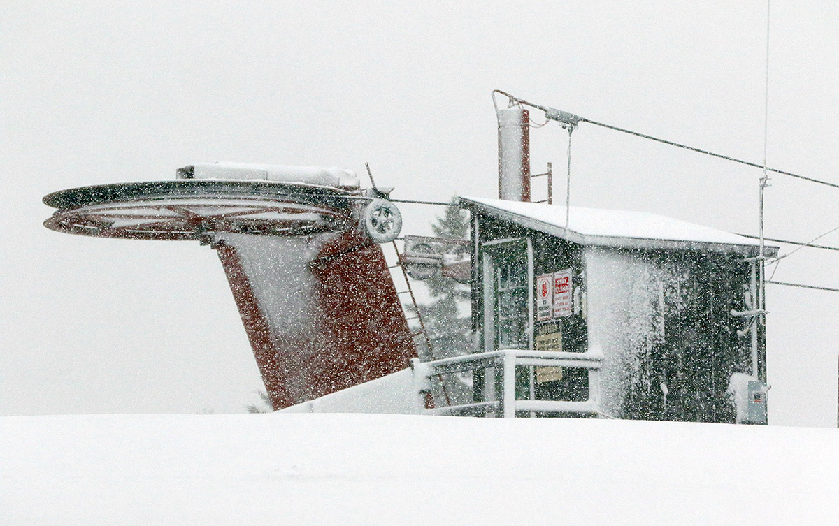
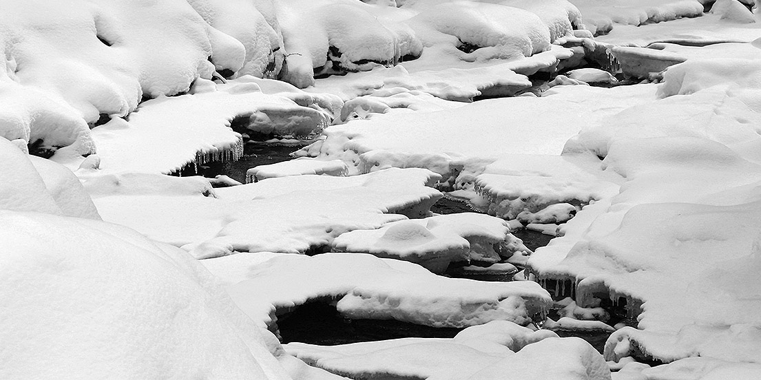
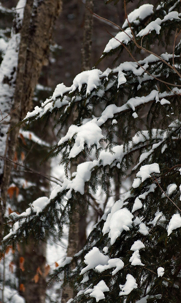
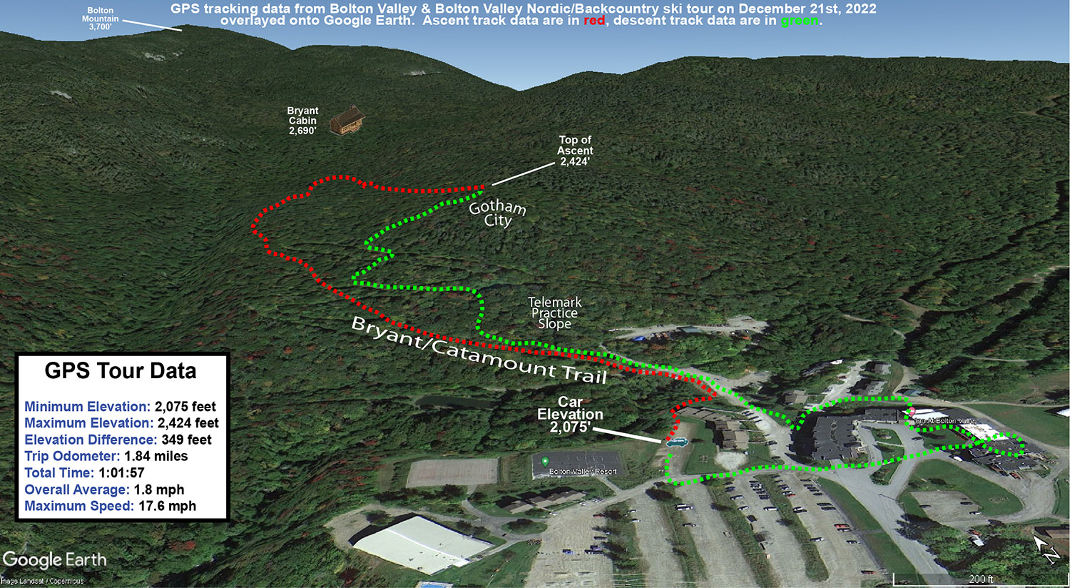
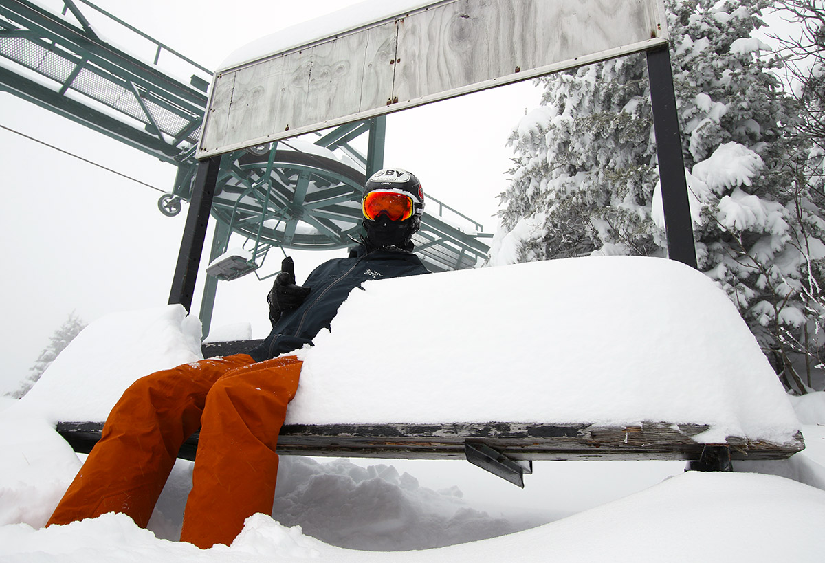
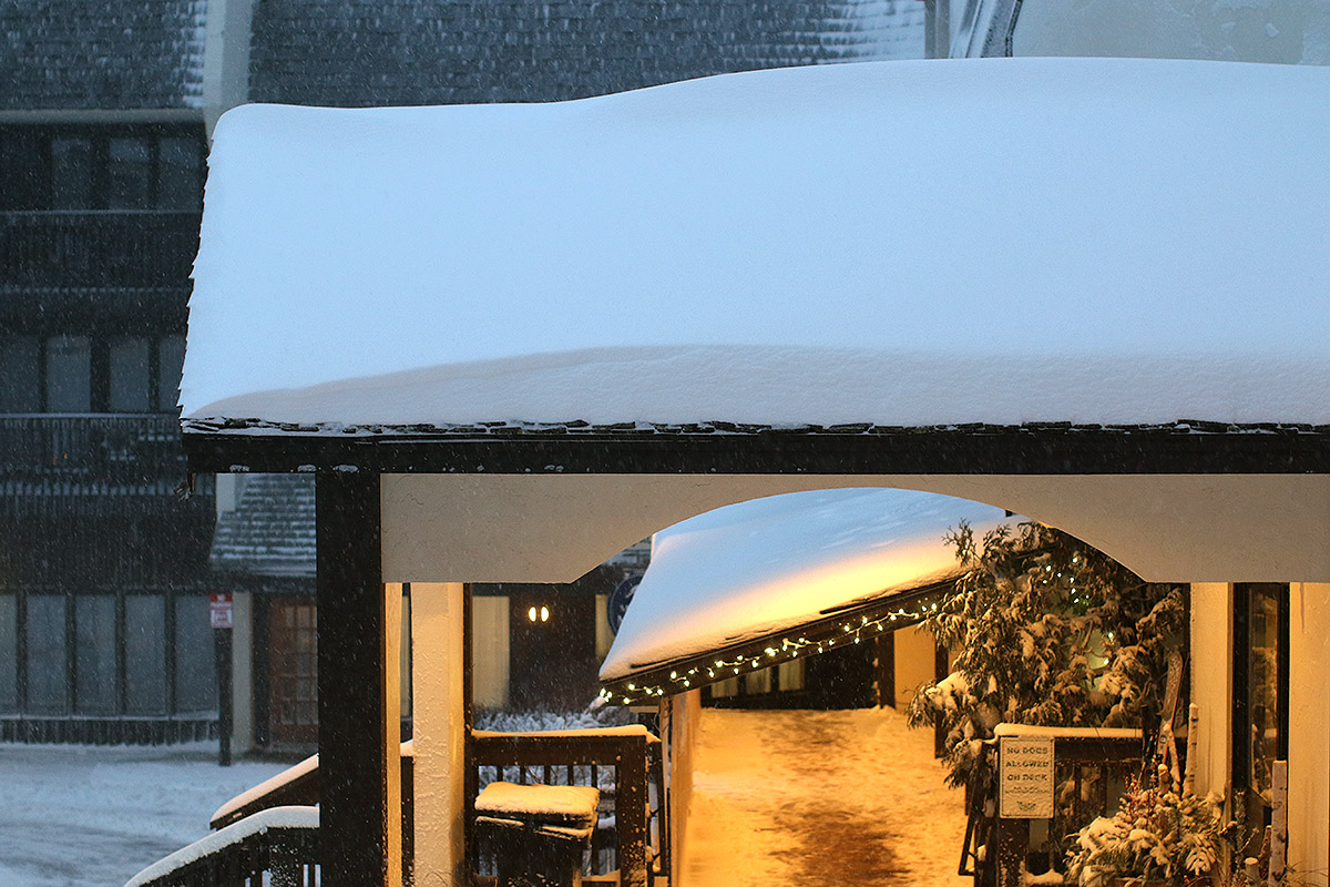
Down here in the valley at 500’ our precipitation has generally been snow, but the temperatures have been marginal, so thus far we’ve had less than an inch of accumulation. It’s been a different story at elevation though. We’d been watching the Bolton Valley Base Area Webcam since this morning, and more often than not it’s shown moderate to heavy snowfall with some big fat flakes. Even from the webcam you could tell it was accumulating, so I waited until the afternoon to let some of new snow build up, then I headed up to the mountain for some runs.
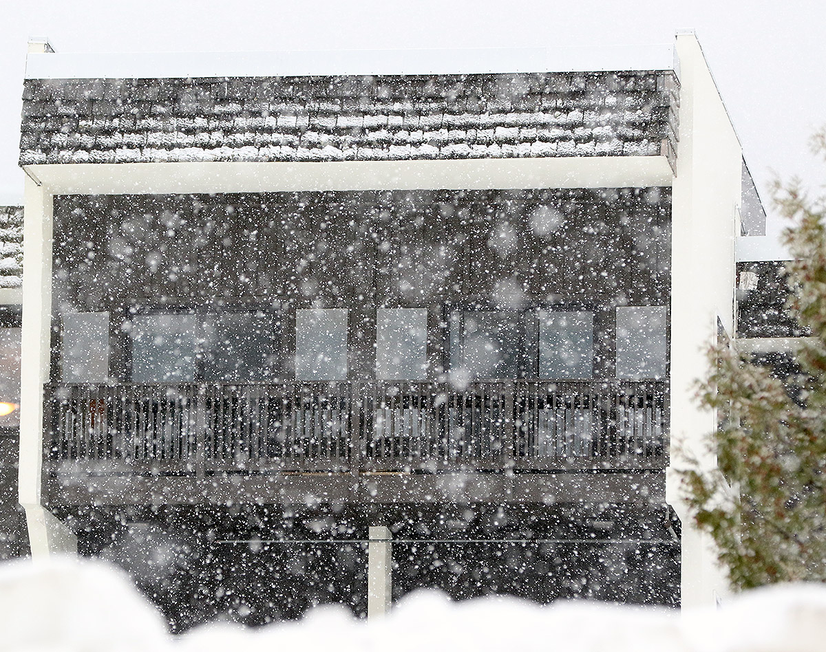
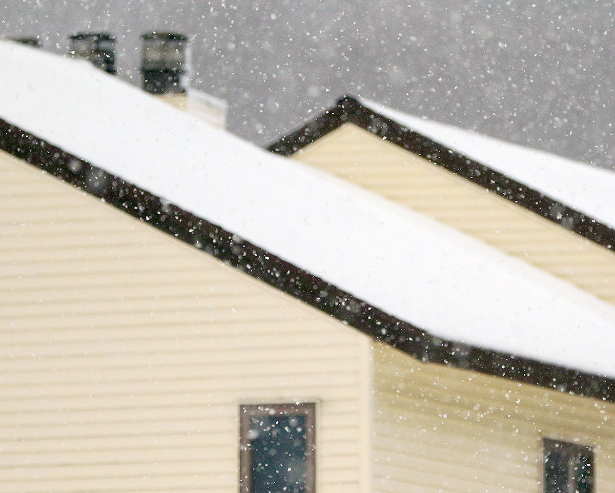
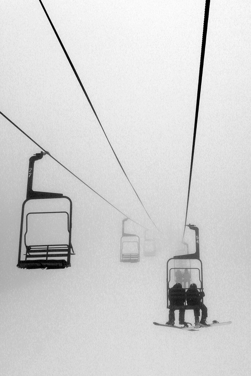
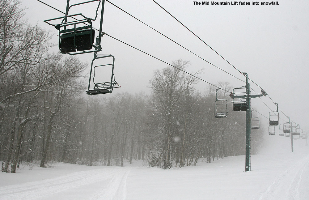
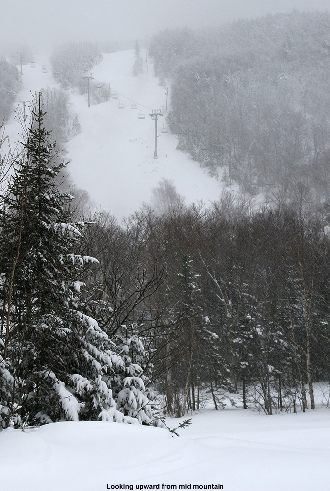
Coverage has mostly melted back at the base of the Bolton Valley Access Road at 340’, and the precipitation there was a mix of rain and wet snow, but cars coming down from the resort had at least a couple inches of fresh snow on them. As I ascended, somewhere in the 1,000’ to 1,500’ range, the precipitation instantly flipped to 100% snow, and you could tell that you’d hit a critical temperature threshold. Up in the Village at 2,000’ it was pounding big flakes. There were visibility issues just like yesterday, but while yesterday was due to thick low clouds and fog, today it was due to the snowfall.
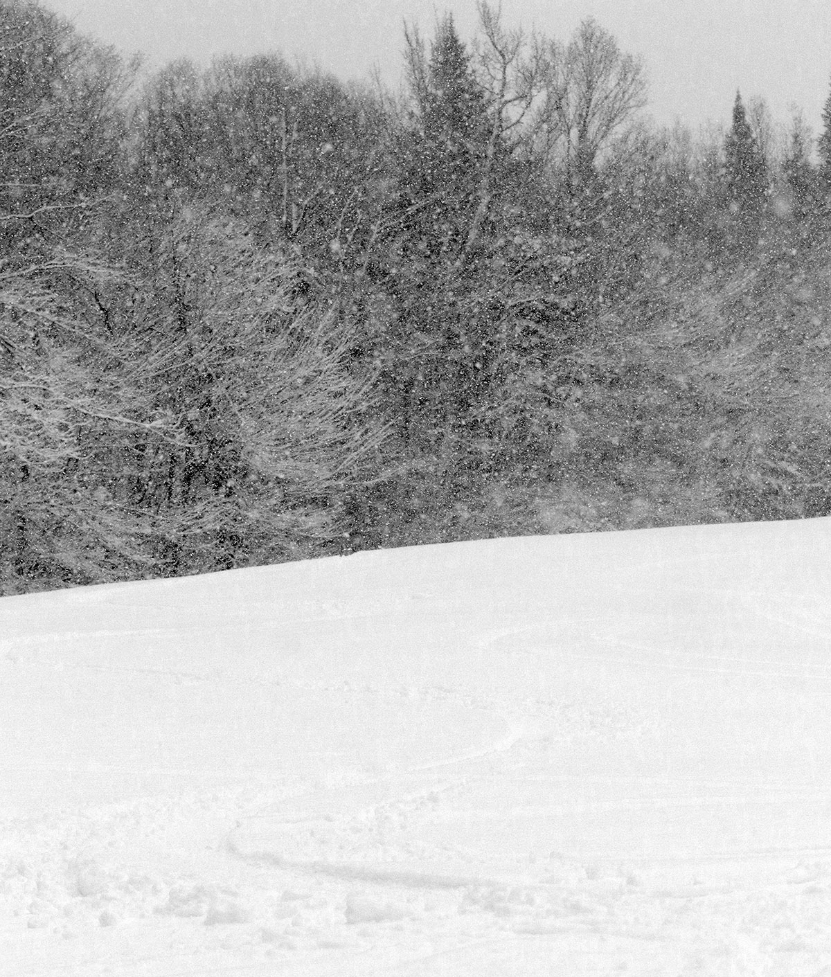
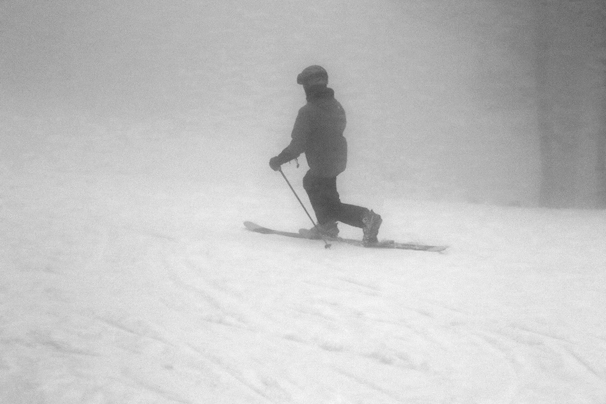
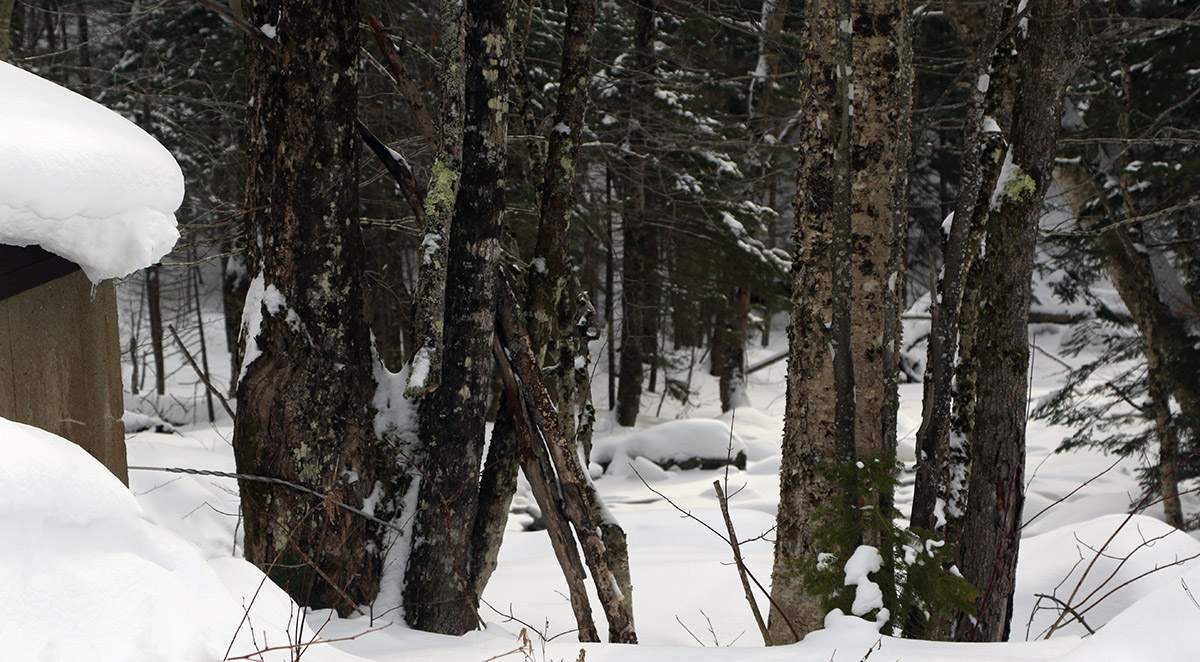
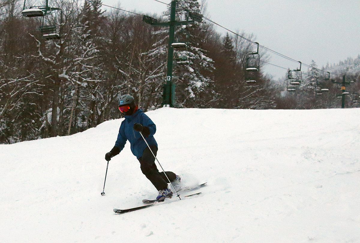
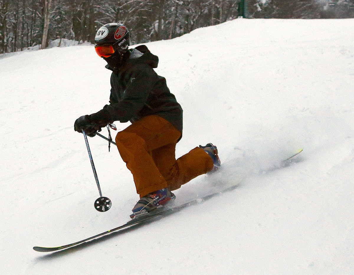
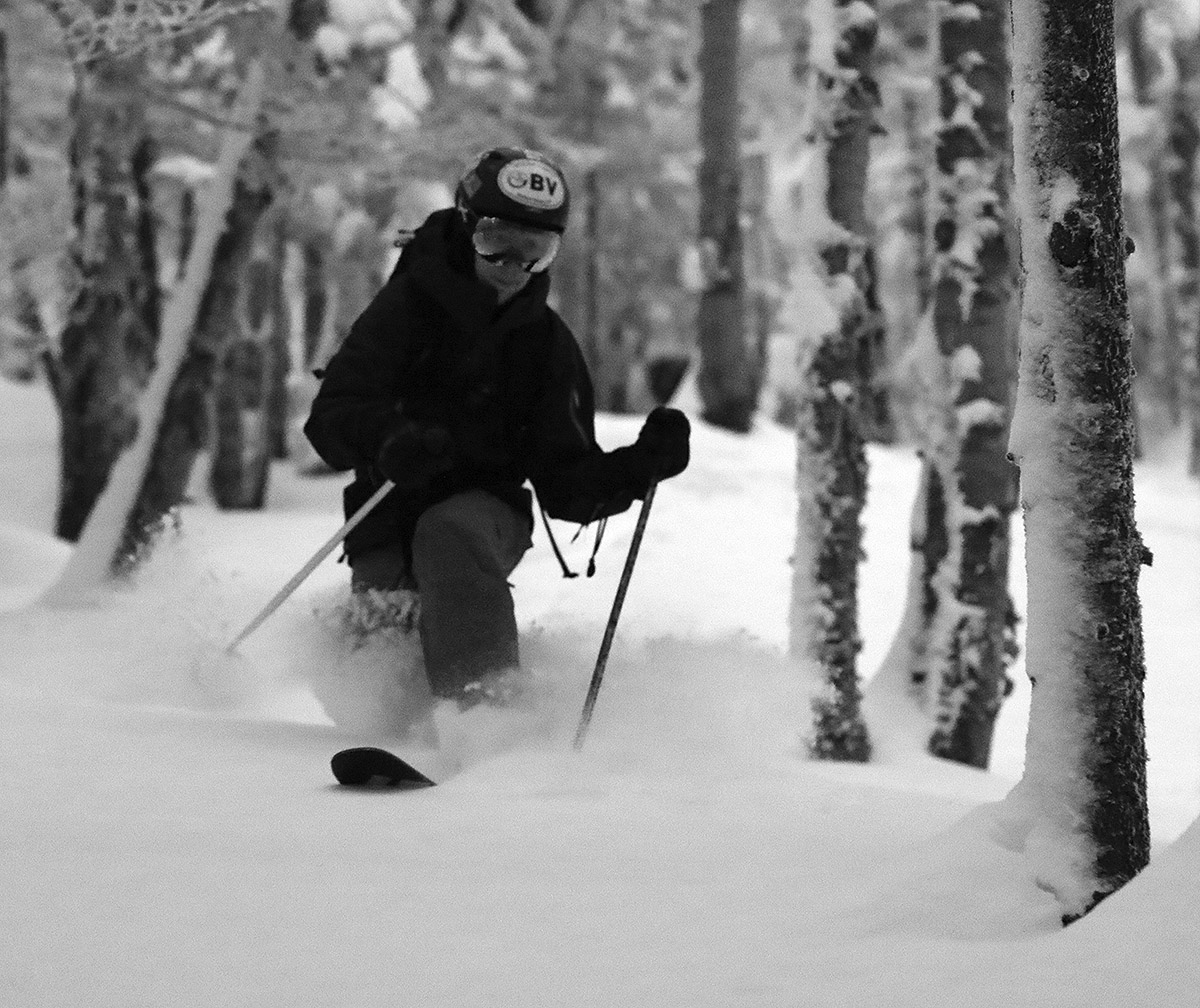
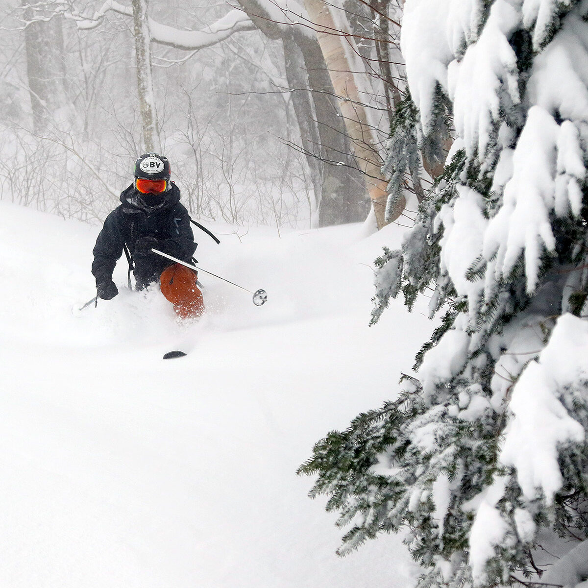
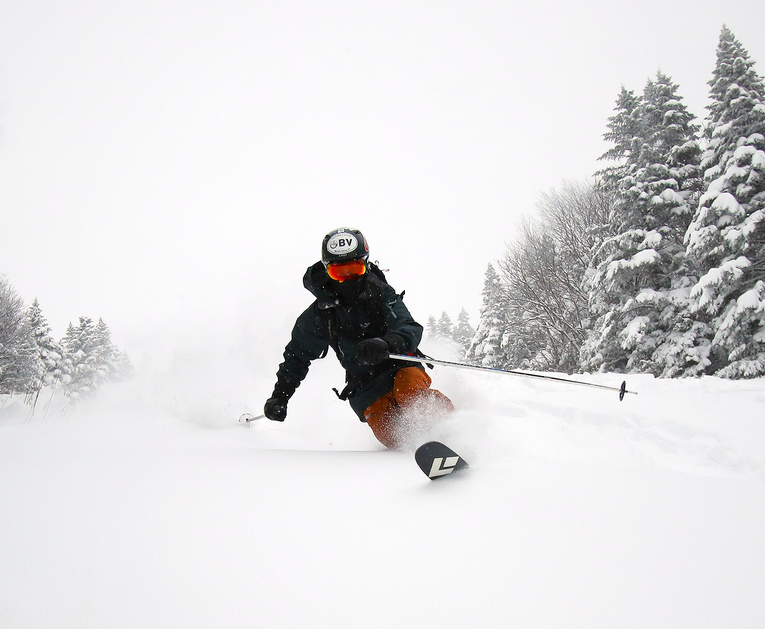
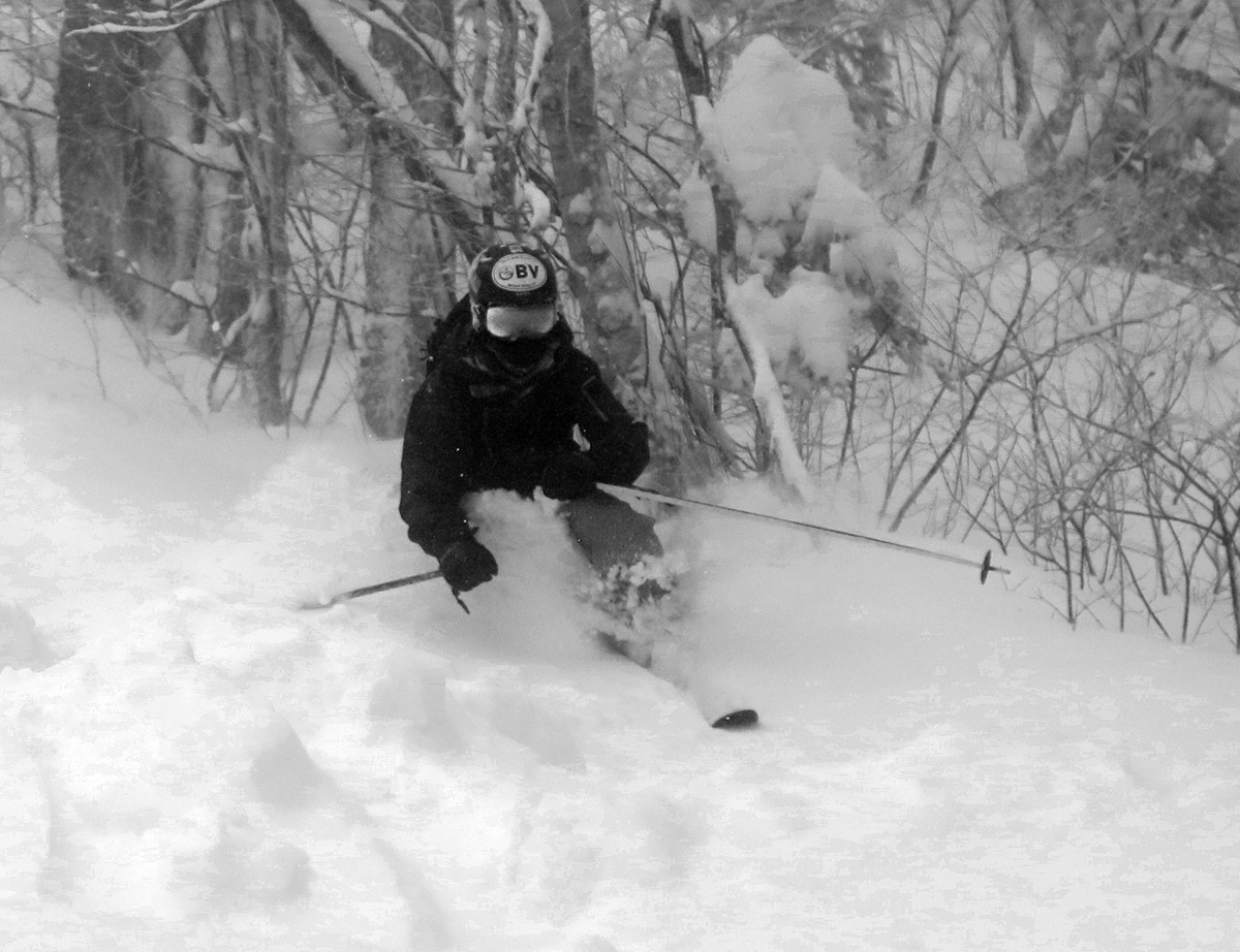
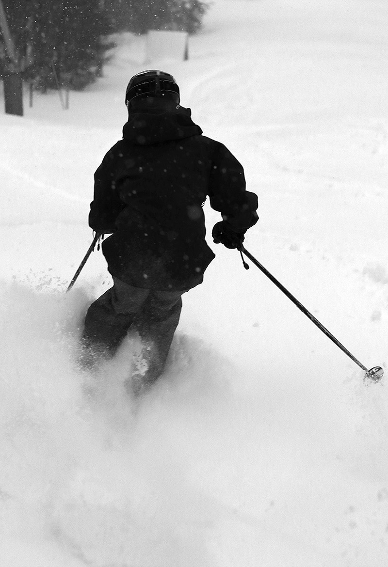
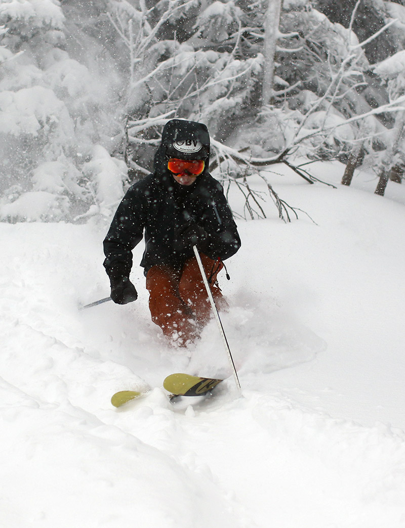
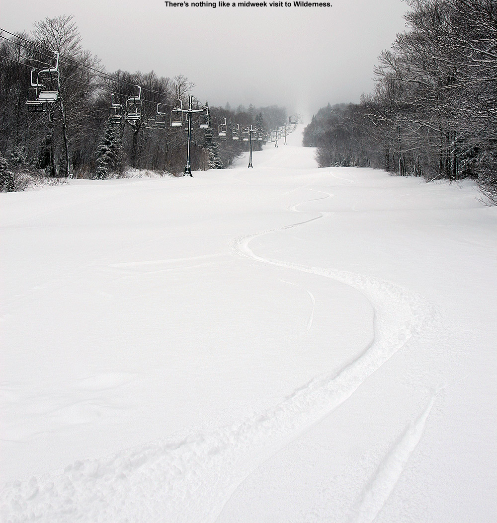
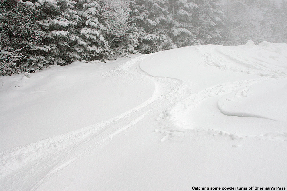
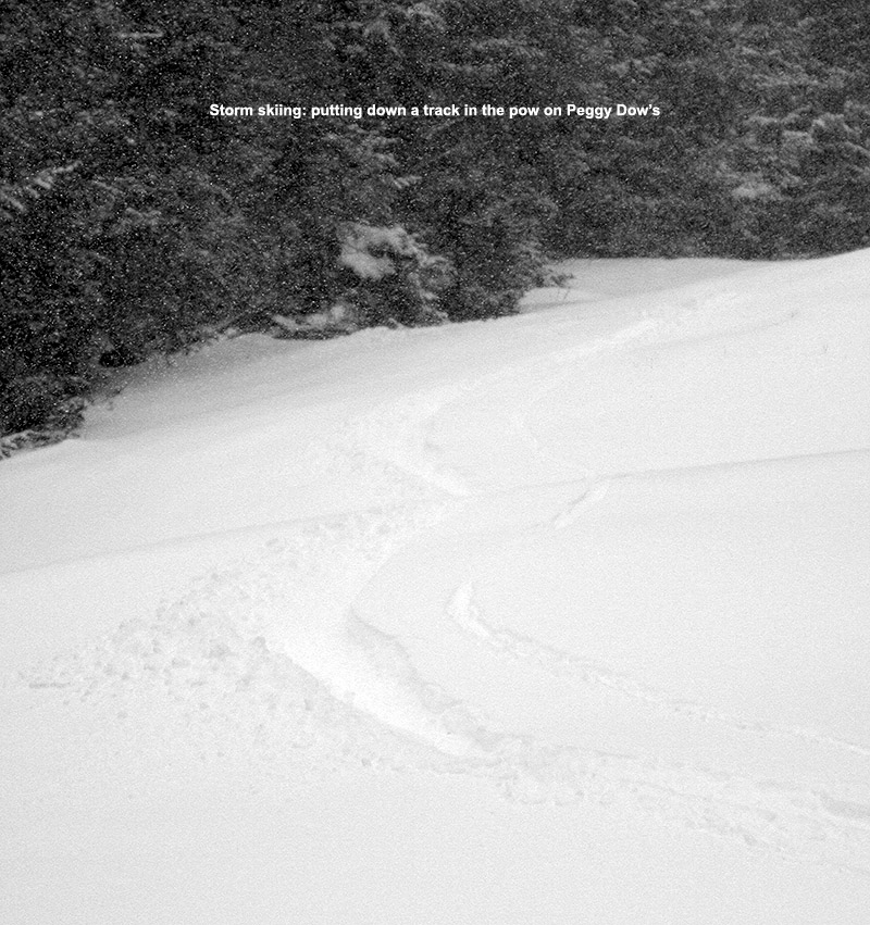
Like yesterday, I skied again off the Mid Mountain Chair, and you could tell that the base snow had stiffened up where it had been groomed, at least up around 2,500’. From about 2,200’ and below, there was a notably softer base. At those higher elevations where the base was starting to tighten up, the new snow was definitely helping to take the edge off, but with on piste skier traffic, the fresh snow had been pushed around a lot, and you had to move off the groomed terrain to really take the best advantage of the new snow. In areas that hadn’t been groomed, there was no demarcation between the new snow and more recent layers below it, and my off piste adventures generally yielded turns in 12-14” of powder. The powder did get a bit denser as you dropped in elevation, but it was still quite manageable. I was on mid-fats and never even felt the need to switch to alpine turns; the snow was dry and consistent enough that Telemark turns were still comfortable all the way.
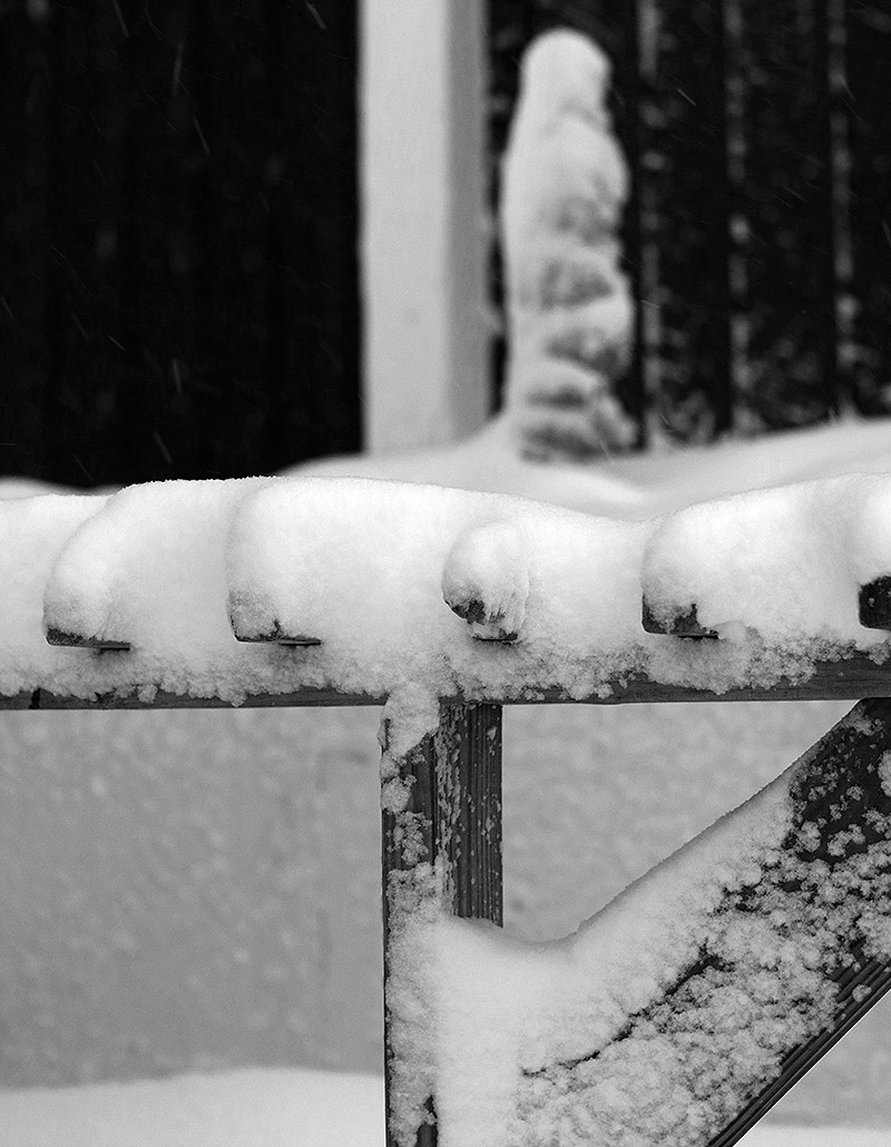
The freezing level was slowly dropping in elevation while I was out on the mountain, and by my last run it was only right down at base elevations where the groomed base still had that initial softness I’d encountered. Driving down the access road at closing time was a bit hairy with the pounding snow and fresh accumulations. The road accumulations finally started to abate around 1,500’, and road surfaces switched to just wet below that. The snowfall rate was easily an inch an hour at times, and even thought it occasionally slowed down for periods earlier in the afternoon, it looks like it averaged around that inch per hour mark because the resort was reporting 4 inches of new snow as of 4:00 P.M. closing. If the snowfall keeps up for a while this evening like it did this afternoon, they’ll have another great shot of snow to cover up the slopes by the morning.


