


We were back to highs in the single digits F today, and I’d certainly call those touring temperatures. With the cold weather, I wasn’t sure if I was going to head out for turns today or not, but with snow quality this good and snowpack this deep, it’s easy to tip the scales toward skiing vs. doing something else for exercise. Bolton Valley was also reporting another 2 to 3 inches of fresh snow from Winter Storm Demi, so the January snowfall just keeps piling up, inch by inch.
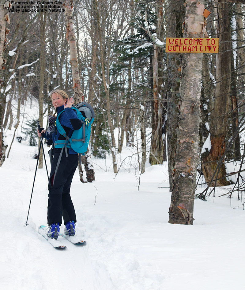
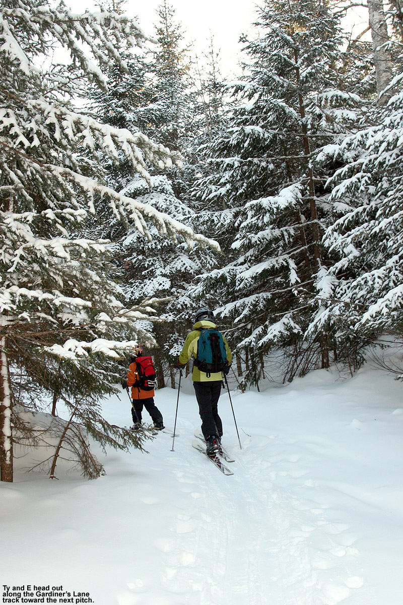
There are a number of main sectors of the Bolton Valley Nordic & Backcountry Network that I haven’t visited yet this season, and with the current snowpack, essentially everything is in play, so it was difficult to choose where to go. I ultimately decided on a loop up to Bryant Cabin and a descent in the Gotham City area, since I hadn’t been out there yet this season. Indeed, the afternoon temperatures were in the single digits F in the mountains today like we had back at the beginning of the month, but it was sunny, and there was little wind, so that made it feel noticeably different from the snowy, windy single-digit temperatures we had before. It was really quite comfortable out on the ascent, and I was cruising up the Bryant Trail, it was feeling so nice that I decided to extend my tour a bit higher.

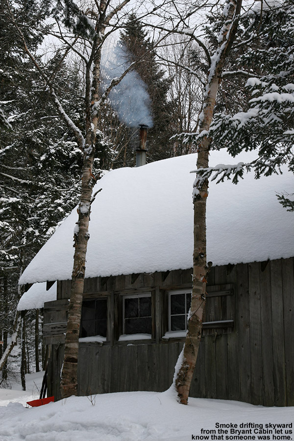
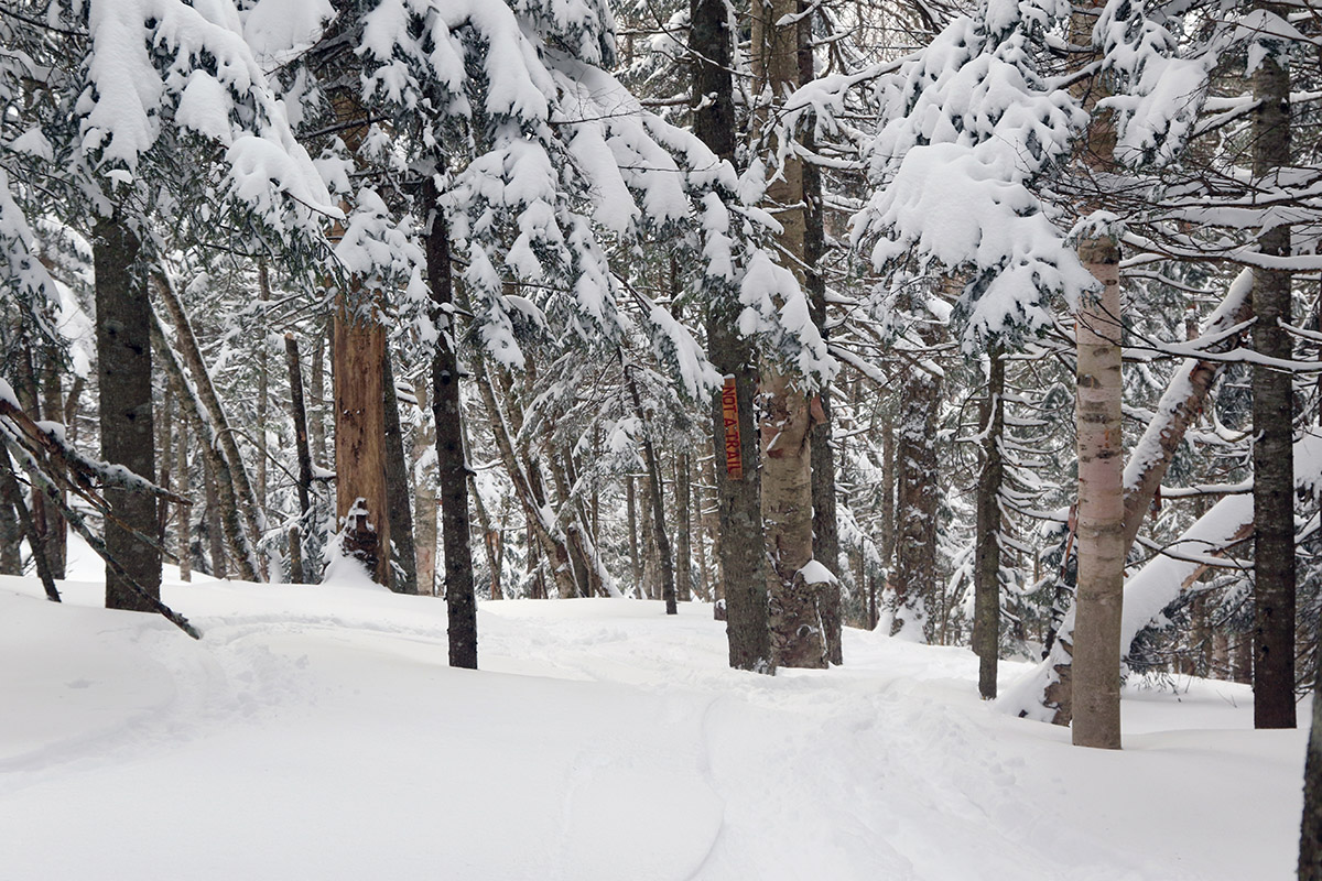
I stopped briefly at Bryant Cabin for a drink and some photos, then continued on up Heavenly Highway to the Not a Trail area at around the 2,800’ elevation. I did some checks on the snowpack depth and was typically getting numbers in the range of 35 to 45 inches. I think I was getting to the bottom of the snowpack when probing with my ski pole, but it’s hard to know for sure without digging a pit. When I was out in the Jay Peak backcountry touring the west face of the Gilpin Mountain/Domey’s Dome range on Saturday, snowpack probing at similar elevations was typically giving me depths of 45 to 50 inches. So, as one might expect with the snowfall the Jay Peak area has seen thus far this season (a bit over 200 inches), the snowpack seems to be a bit deeper there at equivalent elevations.

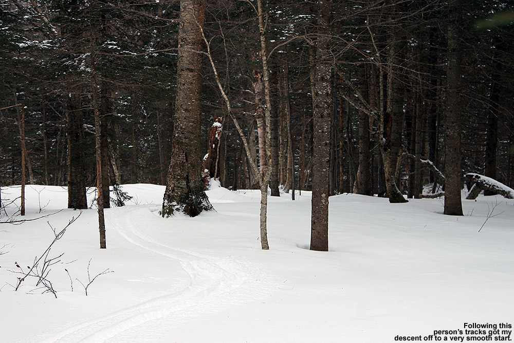
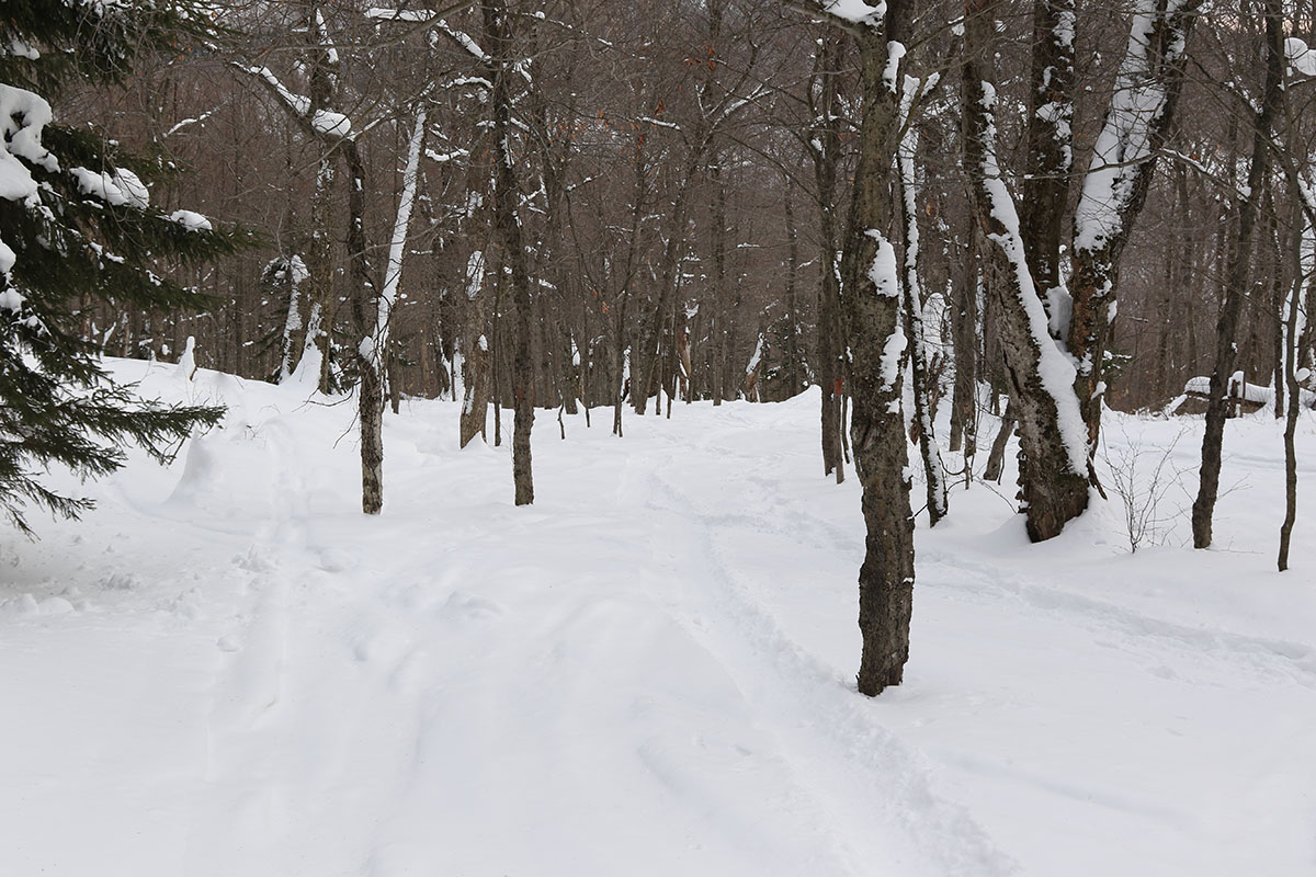
For my descent, I skied a bit of Not a Trail, took the Not a Trail high traverse, then dropped into a nice line that brought me across North Slope and down to Gardiner’s Lane. From there I headed to Gotham City, and since the weather has been so cold and snow preservation so solid, I decided to check out the south-facing Alchemist glade. That area typically suffers from coverage in sunny and warm conditions, but we haven’t had much of that lately, and coverage was excellent. Since our most recent snow, there were only a couple of new tracks in the main Alchemist lines, but there were a number of older tracks that had packed the snow down a bit more, so I ended up heading off to some ancillary lines on the skier’s left. I found acres of terrain over there that was virtually untracked, and it was so good that I put my skins back on and made a quick second ascent via one of the descent tracks on Alchemist to get in another run.

If one wants to split hairs, I’d say that the new snow that fell from Winter Storm Demi may have knocked the quality of the powder skiing down just a touch. Up here in the Northern Greens we weren’t in any of the heavier snowfall banding from the storm, so snowfall rates were modest, and flake sizes were as well. My liquid analyses from down in the valley indicated that the powder came in at 8.6% H2O, so that’s getting up there toward the density of standard 10% H2O synoptic snow. That was probably a bit denser than the powder that was sitting on the surface before it fell, so it altered the developing right-side-up density gradient in the surface snow just a touch. Also, the snow skis a bit slower in single-digit temperatures, so the combination of the powder density and temperatures meant that turns were a bit sluggish on lower-angle terrain. Moderate-angle and steep terrain skied great though, and remember, we’re talking about the finer details of powder quality here, so it comes down to the difference between maybe a point on a 10-piont scale. As mentioned, as soon as I reached the bottom of my run, I turned around and skinned up for another go, so that tells you how good the skiing was. With the low temperatures and dry air that we’re expected to have over the next couple of days, and indeed all the way into next weekend, I wouldn’t be surprised to find the top layers of the powder drying out and the density gradient gradually resetting itself for even better powder quality as time goes on. That process has actually happened a decent amount over the past few weeks, which is one of the benefits of consistently cold temperatures and very low humidity.

There aren’t any major systems expected to hit the area in the next couple of days, so the only potential snow during the midweek period would be if any of the moisture from Lake Ontario makes it over here to the Northern Greens. There’s not much expected, but there were a few radar echoes approaching the area in the evening, so the mountains may have pulled a few flakes out of that. Anything we get from lake moisture would be very dry snow, so it would top off the powder nicely in terms of the density gradient. Once we get out toward Friday and the weekend, there may be a couple chances for Clipper systems to affect the area.